What Are Mammatus Clouds? The Science Behind These Strange Pouch-Like Clouds
Mammatus clouds are among the most dramatic cloud formations in the sky. Learn how they form, what they mean for weather, and why photographers love them.
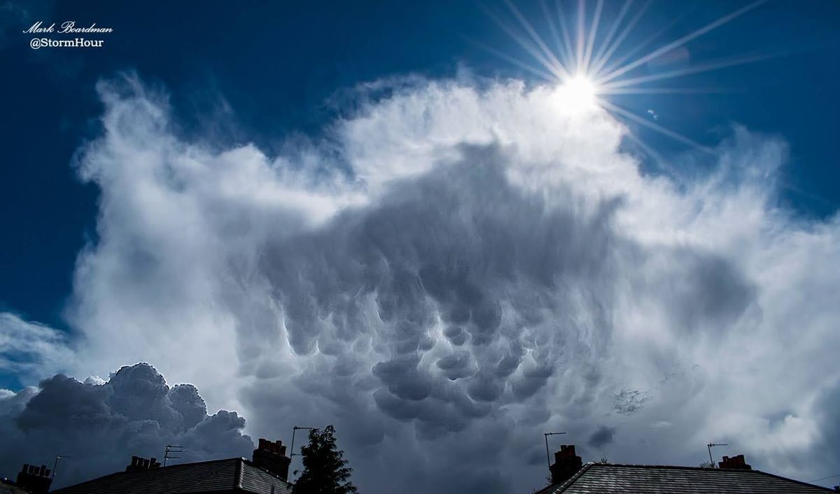
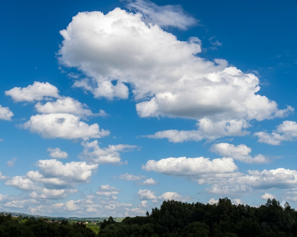
Few cloud formations attract attention quite like mammatus clouds.
With their unusual pouch-like shapes hanging beneath the base of a cloud, mammatus clouds can appear dramatic, surreal, and sometimes even unsettling. They are often photographed after severe thunderstorms and are especially popular among storm chasers and weather photographers.
But despite their dramatic appearance, mammatus clouds are not necessarily dangerous on their own. Instead, they are a fascinating example of the atmosphere in motion.
What Are Mammatus Clouds?
Mammatus clouds are rounded, pouch-shaped cloud structures that hang from the underside of a cloud, usually beneath large thunderstorm anvils.
The name “mammatus” comes from the Latin word mamma, meaning “udder” or “breast,” referring to their distinctive hanging appearance.
They most commonly form beneath:
- cumulonimbus clouds
- severe thunderstorms
- anvil clouds
Although they are usually associated with thunderstorms, mammatus clouds can occasionally appear with other cloud types, including altostratus and volcanic ash clouds.
How Do Mammatus Clouds Form?
Most clouds form when warm air rises.
Mammatus clouds are unusual because they form from sinking air.
Inside the underside of a thunderstorm anvil, pockets of colder, moisture-rich air begin to descend. As this air sinks into drier air below, the moisture condenses into the rounded pouches we recognise as mammatus clouds.
The exact process is still studied by meteorologists, but several factors are thought to contribute:
- cooling air
- turbulence
- evaporating precipitation
- ice crystal dynamics
- strong atmospheric instability
The result is a striking textured underside beneath the storm.
Are Mammatus Clouds Dangerous?
Mammatus clouds themselves are not usually dangerous.
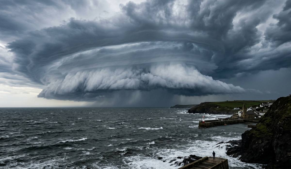
However, they are often associated with powerful thunderstorms that may produce:
- lightning
- hail
- strong winds
- torrential rain
- tornadoes
Because of this connection, mammatus clouds are often seen after severe weather events or near active thunderstorms.
For weather observers, they can be a sign that the atmosphere has recently been highly unstable.
When Are Mammatus Clouds Most Common?
Mammatus clouds are most seen:
- during the late afternoon or evening
- after thunderstorms
- beneath large anvil clouds
- during warm-season convective weather
They are especially common across regions that experience intense thunderstorms, including parts of:
- the United States Great Plains
- central Europe
- Australia
But they can appear almost anywhere under the right atmospheric conditions.
Why Photographers Love Mammatus Clouds
Mammatus clouds are among the most photogenic cloud formations in the atmosphere.
Their dramatic textures and changing light conditions can create extraordinary skies, especially near sunset when low-angle sunlight enhances the shadows and depth within the cloud pouches.
For storm photographers, mammatus clouds often provide:
- dramatic compositions
- unusual sky textures
- powerful storm atmosphere
- striking wide-angle scenes
They can also change rapidly, making timing important when photographing them.
Can Mammatus Clouds Predict Tornadoes?
Mammatus clouds do not directly mean a tornado is forming.
While they are often associated with severe thunderstorms, mammatus clouds alone are not reliable indicators of tornado development.
They simply indicate strong atmospheric processes within or around a storm system.
The Beauty of an Unstable Atmosphere
Part of what makes mammatus clouds so captivating is the contrast they create.
They can appear beautiful and calm while forming beneath some of the atmosphere’s most energetic storms.
For weather enthusiasts, photographers, and storm chasers, they are a reminder that the sky is constantly changing shaped by invisible movements of temperature, moisture, and air.
And sometimes, those movements create some of the most extraordinary cloud formations we ever see.