StormHour Guide to Cumulonimbus Clouds
All you need to know about cumulonimbus clouds.
Do you know what cumulonimbus clouds are? This Article discusses cumulonimbus clouds in detail and describes their formation, characteristics, and dangers. Stay safe during extreme weather by knowing what to look for in cumulonimbus clouds!
What are cumulonimbus clouds, and what do they look like?
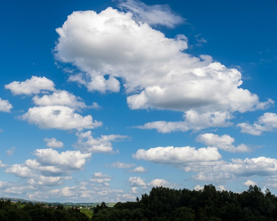
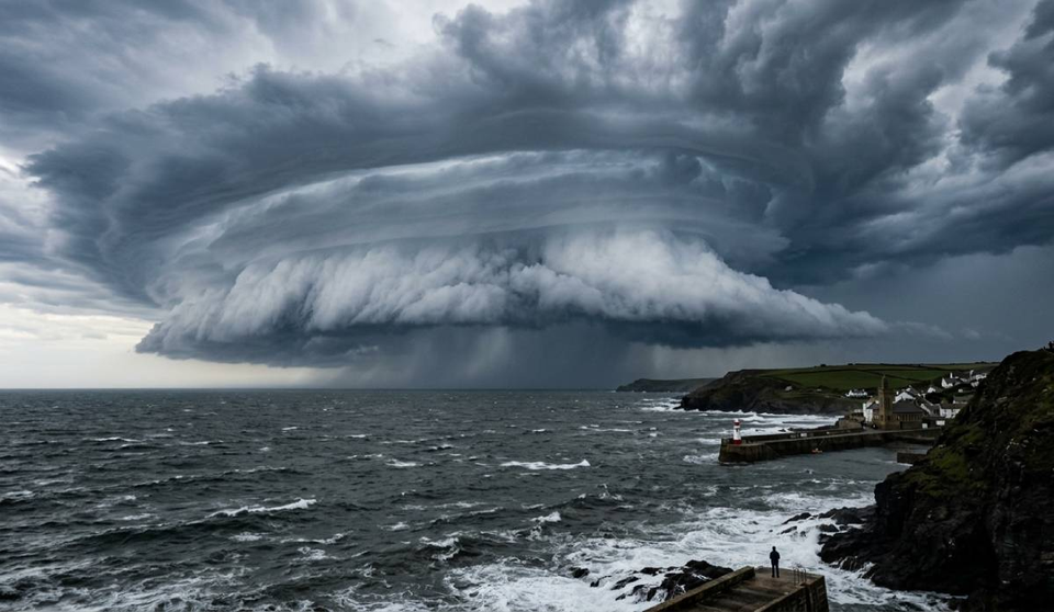
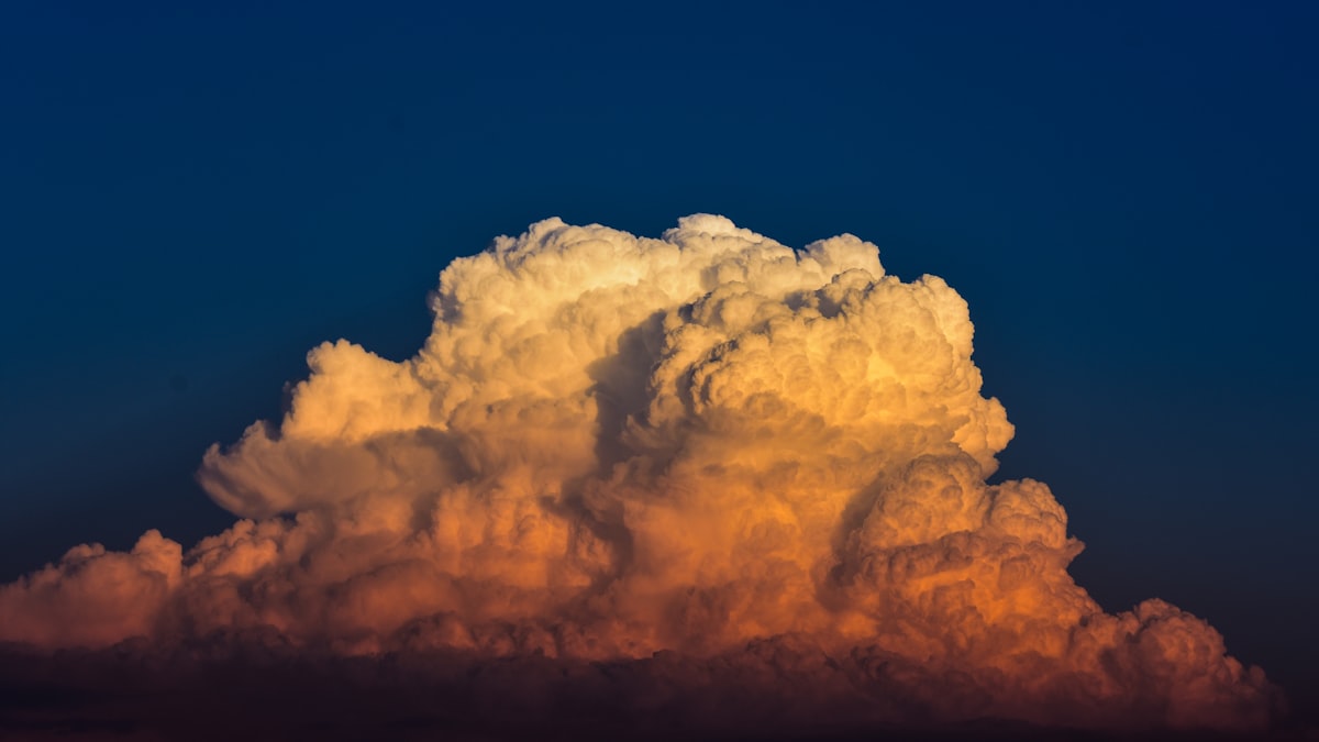
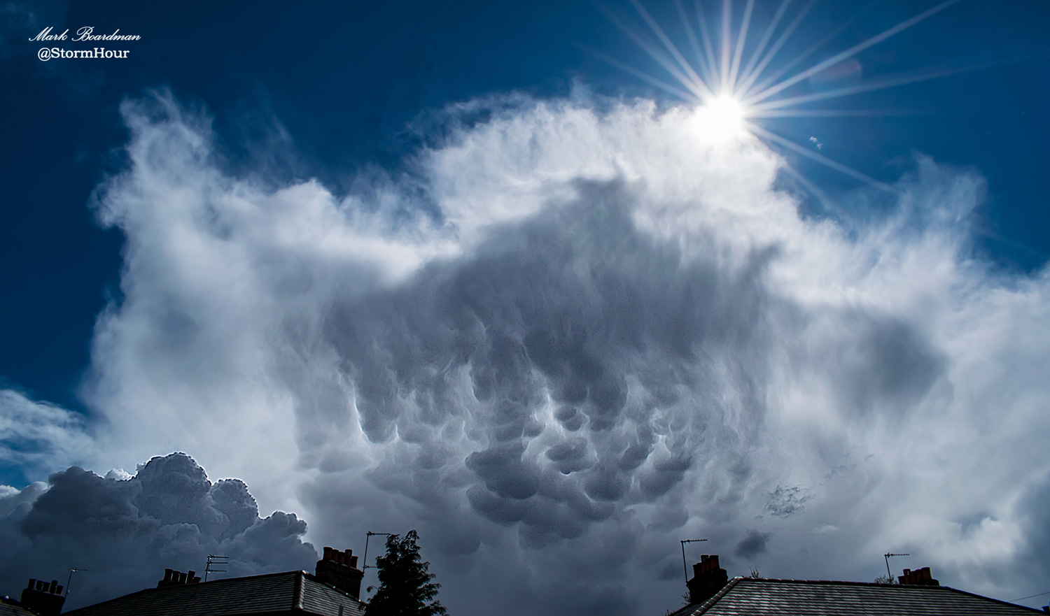
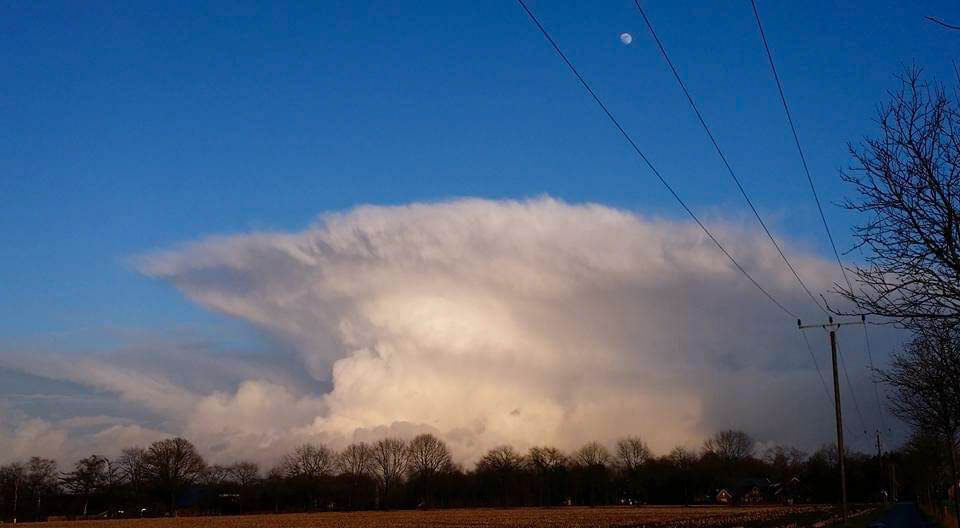
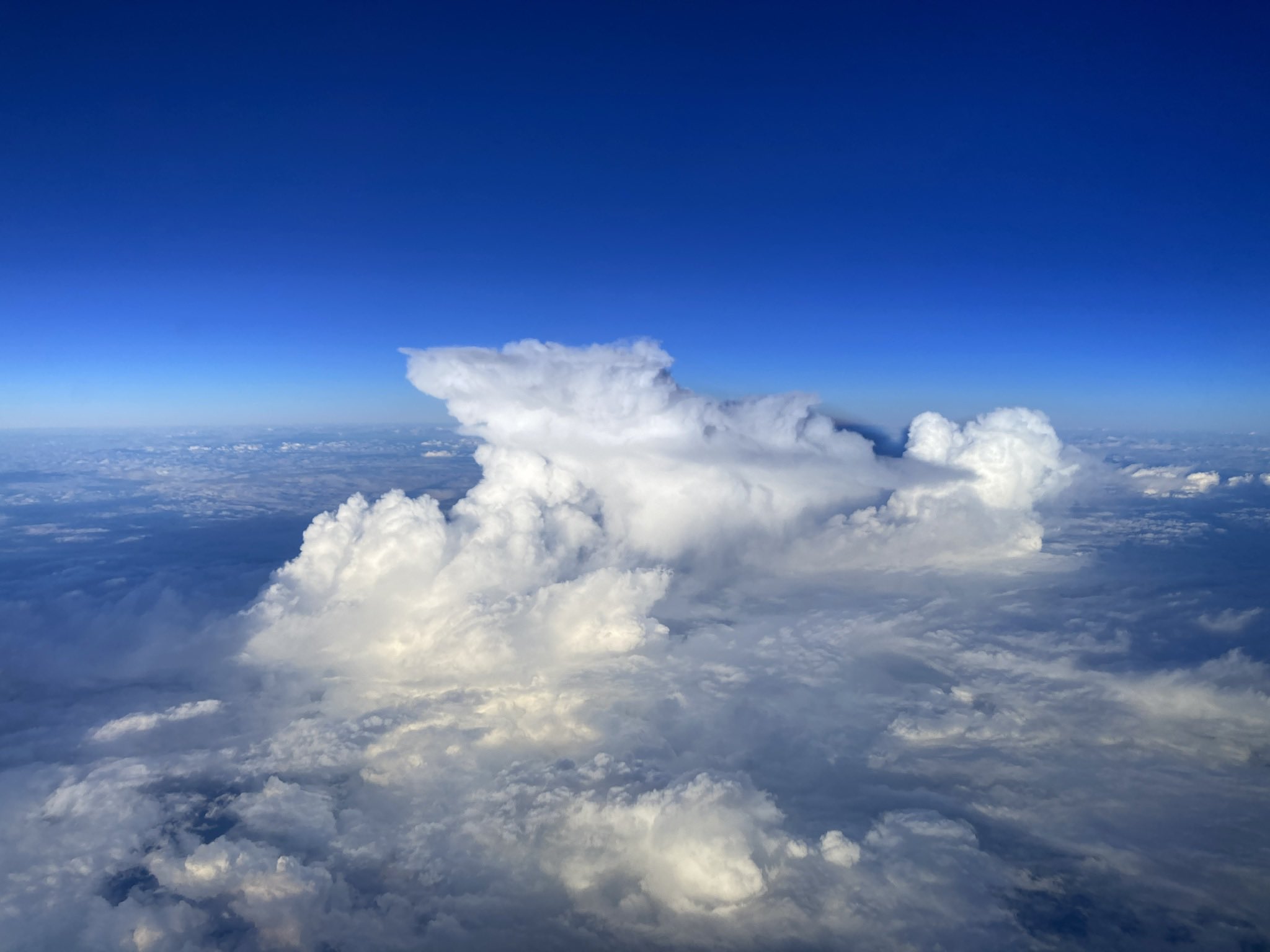
Cumulonimbus clouds are large, tall vertical clouds that form from water vapour. They are often seen during a storm and might be called thunderheads. These clouds can produce lightning and severe weather, such as tornadoes and hail.
Cumulonimbus are frequently characterized by their anvil-shaped top caused by the high winds at the upper echelons of the cloud.
Cumulonimbus clouds form when powerful upward air currents carry water vapour. These clouds can form alone, in clusters, or along cold front squall lines.
What is the most dangerous type of cumulonimbus cloud?
The most dangerous type of cumulonimbus cloud is the supercell. This class of thunderstorms has a deep rotating updraft. It can produce tornadoes, severe winds, and large hail. Supercells are responsible for most tornado-related deaths in the United States.
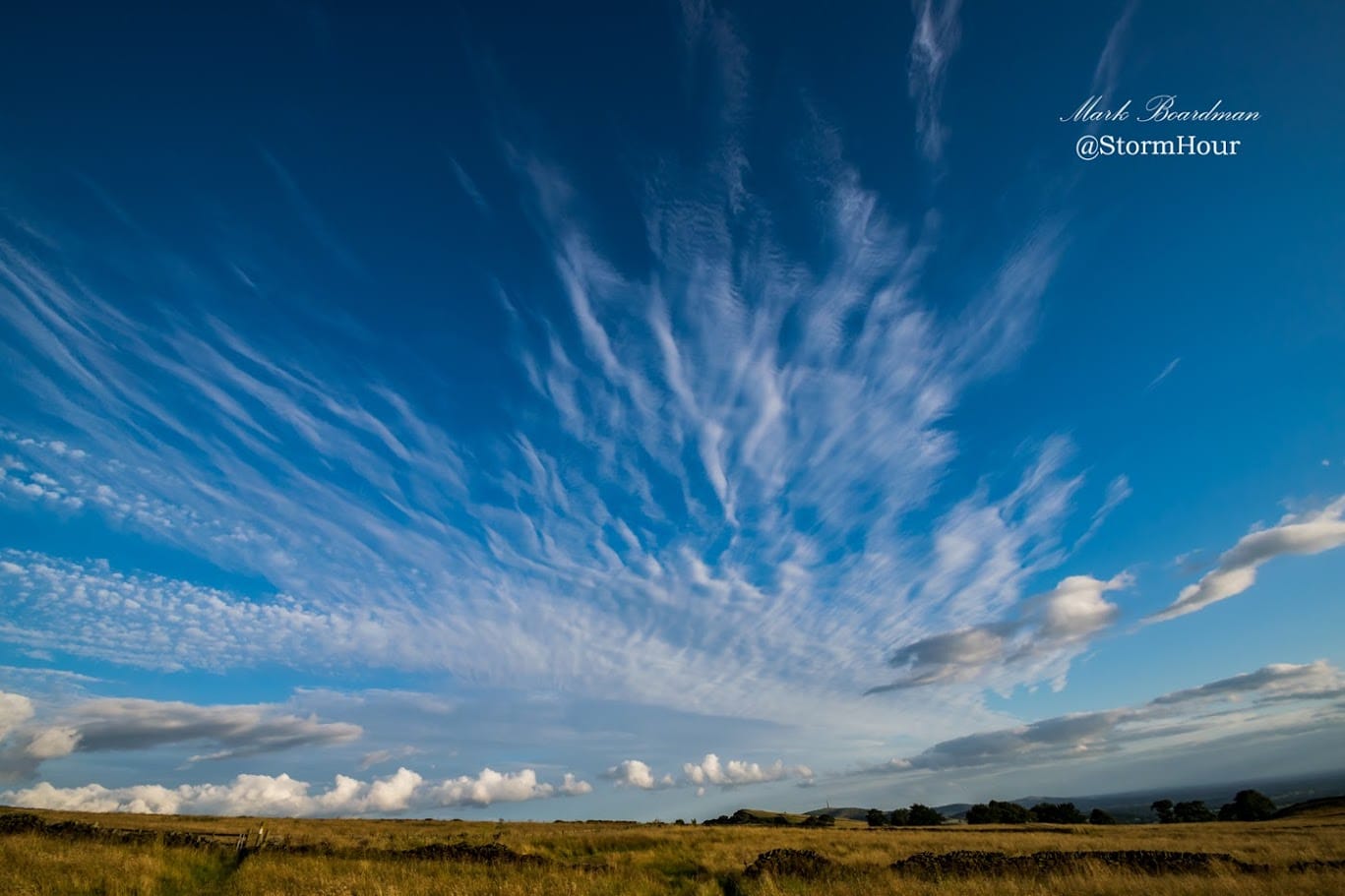
Other cumulonimbus clouds include the cumulus congestus, cumulus mediocris, and cumulus humilis. These clouds are less dangerous than supercells but can still produce thunderstorms and rain.
How to identify cumulonimbus clouds.
Cumulonimbus clouds are easily identifiable by their dense, towering vertical shape. They are the only cloud that can extend from ground level to the troposphere.
Where can you see cumulonimbus clouds around the world?
You can find Cumulonimbus clouds in the tropics, subtropics and mid-latitudes. They are most common in the summer months as they feed on the heat of the sun.
How to photograph cumulonimbus clouds?
Cumulonimbus clouds are a fantastic sight to see and make for some beautiful photographs. There are many ways to take great photos of these clouds, but here are some factors to consider:
– Use a fast shutter speed to capture the motion of the clouds.
– Use a tripod or other stable surface to keep your camera still.
– Choose a vantage point that allows for a good view of the clouds.
– Use manual settings to get the best results.
– Experiment with different compositions and angles.
– Use a wide-angle lens to capture the entire cloud.
– Use a fast shutter speed to capture the movement of the clouds.
– Shoot in RAW format to capture more detail.
– Try photographing cumulonimbus clouds at different times of day to see how the light changes their appearance.
Cumulonimbus clouds are an excellent subject for photography, so don’t miss your chance to capture them!
Cumulonimbus can be beautiful and awe-inspiring, but it’s important to remember that they can also be dangerous. So be sure to stay safe if you’re in the area of a thunderstorm, and enjoy these clouds from a distance.
What are the best times to see cumulonimbus clouds during the day?
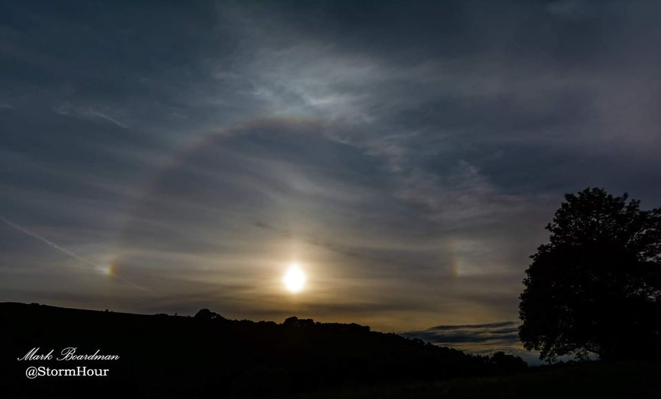
Generally, cumulonimbus clouds are most visible during the afternoon and evening. They can also form at night, but they’re not usually as bright then, but they look fantastic when lit up by lightning.
There is a high chance that these clouds will produce thunderstorms and other dangerous weather. Therefore, they are found in many world areas with sufficient heat and moisture and uplifting of warm air currents.
Understanding what cumulonimbus looks like is integral to storm safety because these storms can produce hail, tornadoes, rain and lightning strikes. If you want to see some beautiful pictures of cumulonimbus cloud formations, check out our blog post on how best to capture photos when it comes time for your photoshoot!